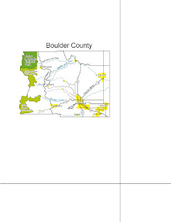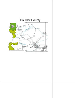

The map of the left is my original map of Boulder County, Colorado. The one on the right is my edited version. I added halos on the labels of cities which went over the highways so that the city labels could clearly be seen. I also changed the color of the cities from gray to yellow so that they would stand out more. And I changed the width of the park boundaries so that they would be thinner then the county boundaries, becuase the park boundaries are not as important. And finally, I labelled the Peak to Peak highway and the Indian Peaks Wilderness.
No comments:
Post a Comment